
~Barrowford to Barley & Back~
24th April 2011
Some of East Lancashire's best bits - the environs of Barrowford, Roughlee & Barley and one of the best weather days this year. Karen is with me and we've done this before, so I'll be looking for route variations.
Water Meetings
Scroll down for photos and a description of the walk....
Pendle Water, Barrowford
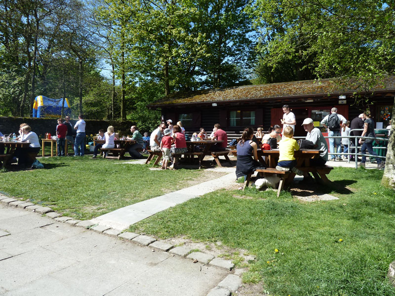
We parked at Bull Home playing fields and walked through Barrowford Park to the Heritage Centre for our lunch, ideally we would have had a snack at Barley, but I thought it could be busy.
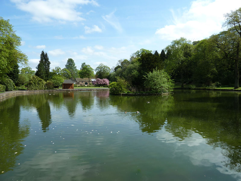
Barrowford Park - Duck Pond
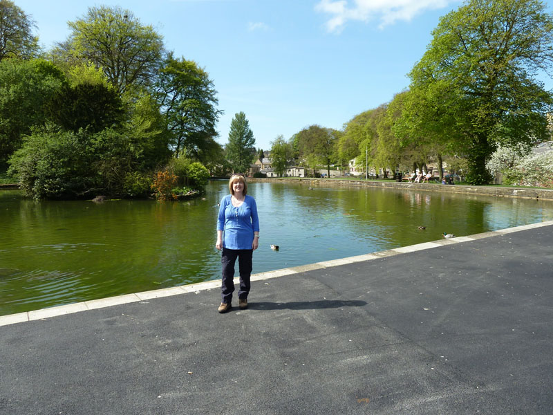
Karen in the Park
After our toasties, we headed for Water Meetings and the the open countryside.
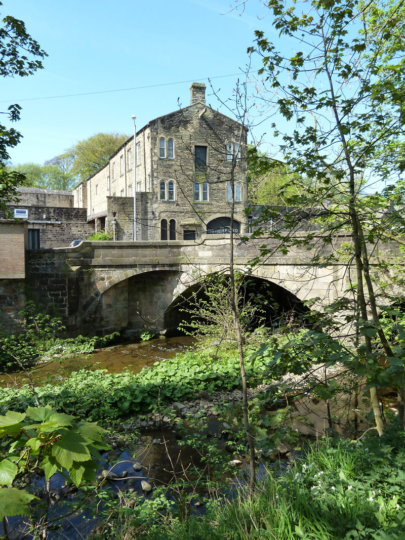
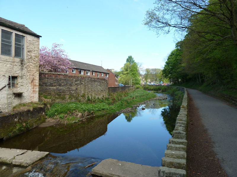
Higherford Mill
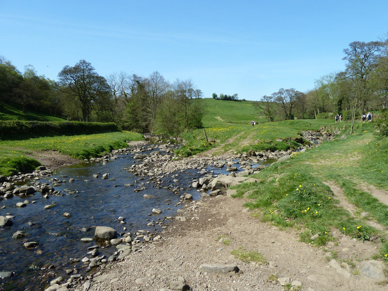
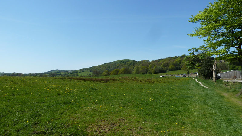
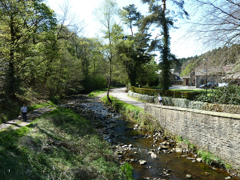
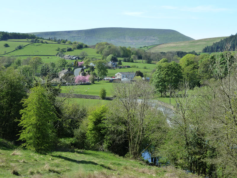
Water Meetings
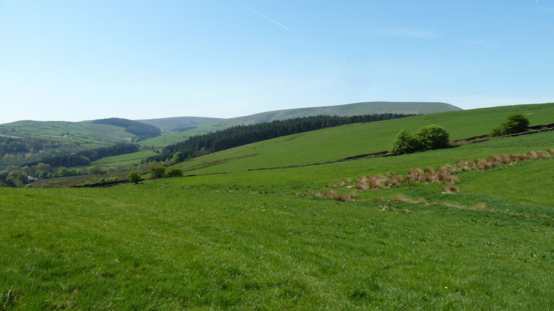
So named because Pendle Water (left) is joined by Blacko Water. Our route goes to the right of the trees on the horizon. Last time we stayed closer to Pendle Water and had to negotiate some boggy ground, though today it wouldn't be a problem after a very dry spell.
Blacko Foot
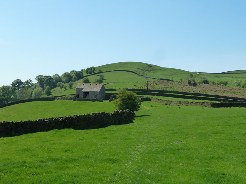
The walk will head over the far side of Brown Hill (high point), but first we have to go around the non-accessible wooded Hollin Top to the right of Brown Hill via Bank Ends (just visible above the barn).
Brown Hill
Brown Hill is just over 1000ft asl, but not accessible. The path passes on the north (right) flank.
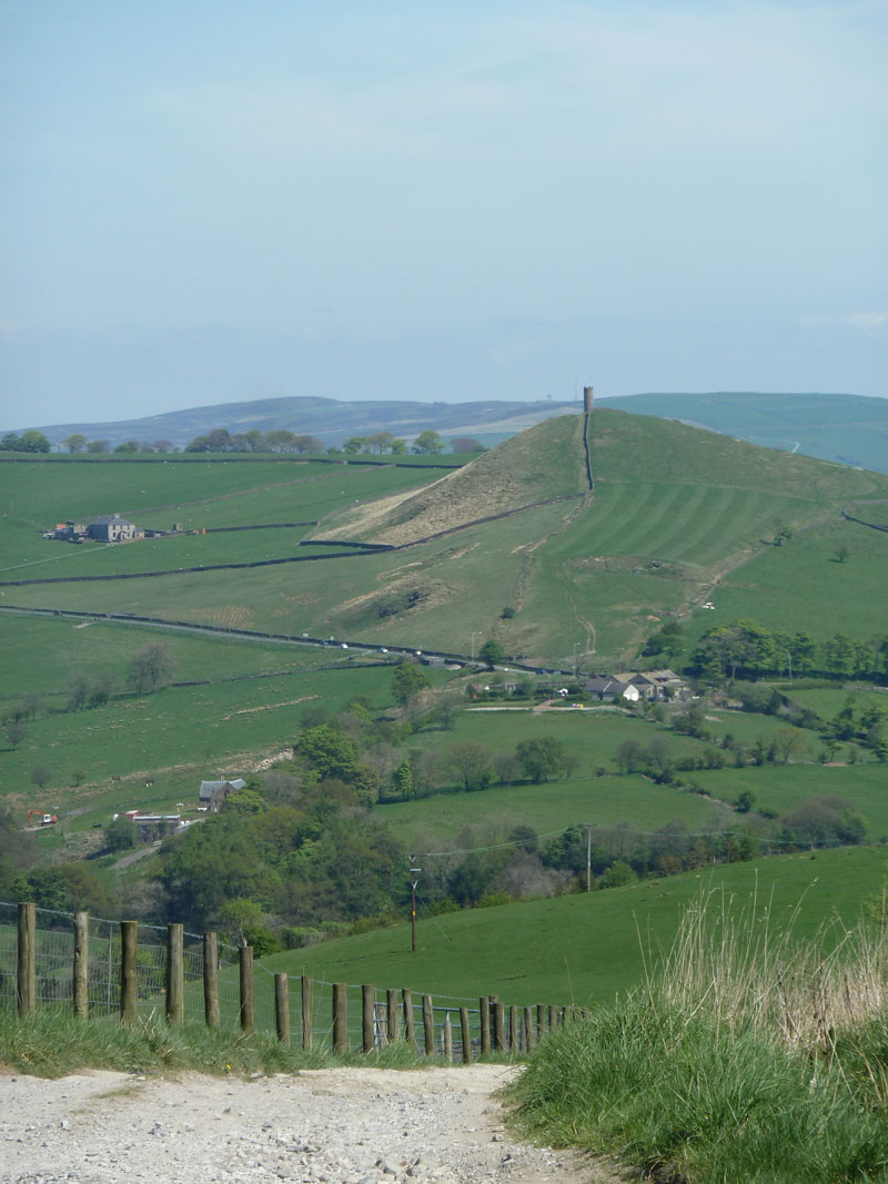
Stansfield (Blacko) Tower
Blacko Hill is just six feet lower than Brown Hill and it is also out-of-bounds to walkers. The cars are on Gisburn Road, the route I use for trips to Settle, Ingleton and Cumbria.
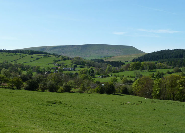
Pendle Hill
Pendle Hill comes into view over Aitken Wood. Fell Wood and Spence Moor can be seen to the left of Pendle Hill.
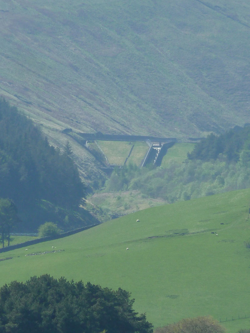
Upper Ogden Dam
Zoomed in on the dam at Upper Ogden Reservoir, Barley Hill is nearer the camera. We are now heading down to White Hough and the wooded vale leading to Barley.
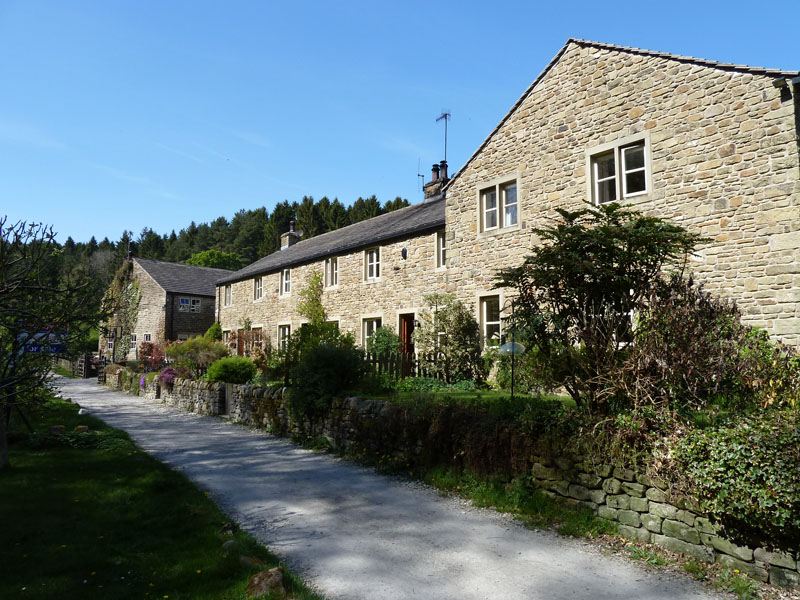
Riverside Cottages, White Hough
One of the middle cottages is for sale at £275,000. We could live here, just need to ease the lads out as there aren't quite as many rooms.
Barley Cottages
Barley - The Cabin
Barley was heaving - the car park more than full and folk were all over the place. All good natured in the warm sunshine. The Cabin was serving food as usual plus a BBQ in the garden. This is the halfway point in our walk and time to study the map and choose an alternative route home.
White Hough
I plotted a route back along track past the cottages and then to Roughlee along Pendle Water. Familiar faces appeared:
Peter, Matthew and Helen
That's my brother and sister, with her son Matthew in the middle. They have parked in Roughlee and are heading for Barley for an ice cream.
Roughlee
A bit of Roughlee as we look back along the terrace path above the river.
Pendle Hill from Roughlee
This is ours! On holiday elsewhere, we are guests, but this is our place - come and visit us, be our guests!
Pendle Hill
We turn our backs on Pendle Hill and begin the descent to Barrowford.
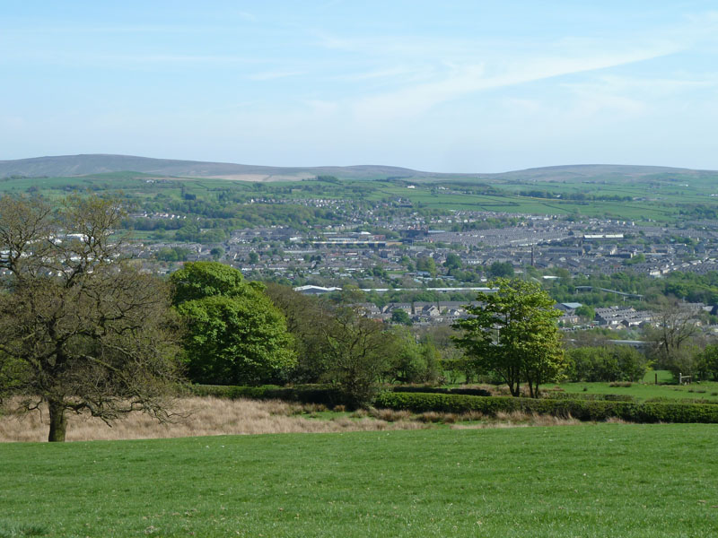
Nelson
Even Nelson looks good on a day like this. Boulsworth Hill is further away. It's down the hill to Barrowford and back to the car.
Walkers: Karen and Me.
Time taken: 4 hrs over a distance of about 7 miles. Time reflects car-to-car and includes meal and ice cream break.
Route: Barrowford, Water Meetings, Brown Hill, White Hough, Barley. Barley, White Hough, Roughlee, Fulshaw, Barrowford.
Weather and conditions: Sunny and warm.
Greetings Count: A busy day on the footpaths in the shadow of Pendle Hill.
Richard's Refreshment Review: Pendle Heritage Centre for THE Best Toasties. Lots of tables and good food, usually quick service, but gets busy at peak times, as you might expect.
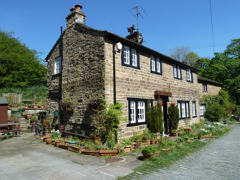
The house in White Hough.
All photos copyright Richard Ratcliffe 2011 ©
Take me back to the start ....